Dominion Atlantic Railway Digital Preservation Initiative - Wiki
Use of this site is subject to our Terms & Conditions.
File:UniackeWater1.jpg
From DARwiki
Size of this preview: 800 × 450 pixels. Other resolutions: 320 × 180 pixels | 3,264 × 1,836 pixels.
Original file (3,264 × 1,836 pixels, file size: 4.02 MB, MIME type: image/jpeg)
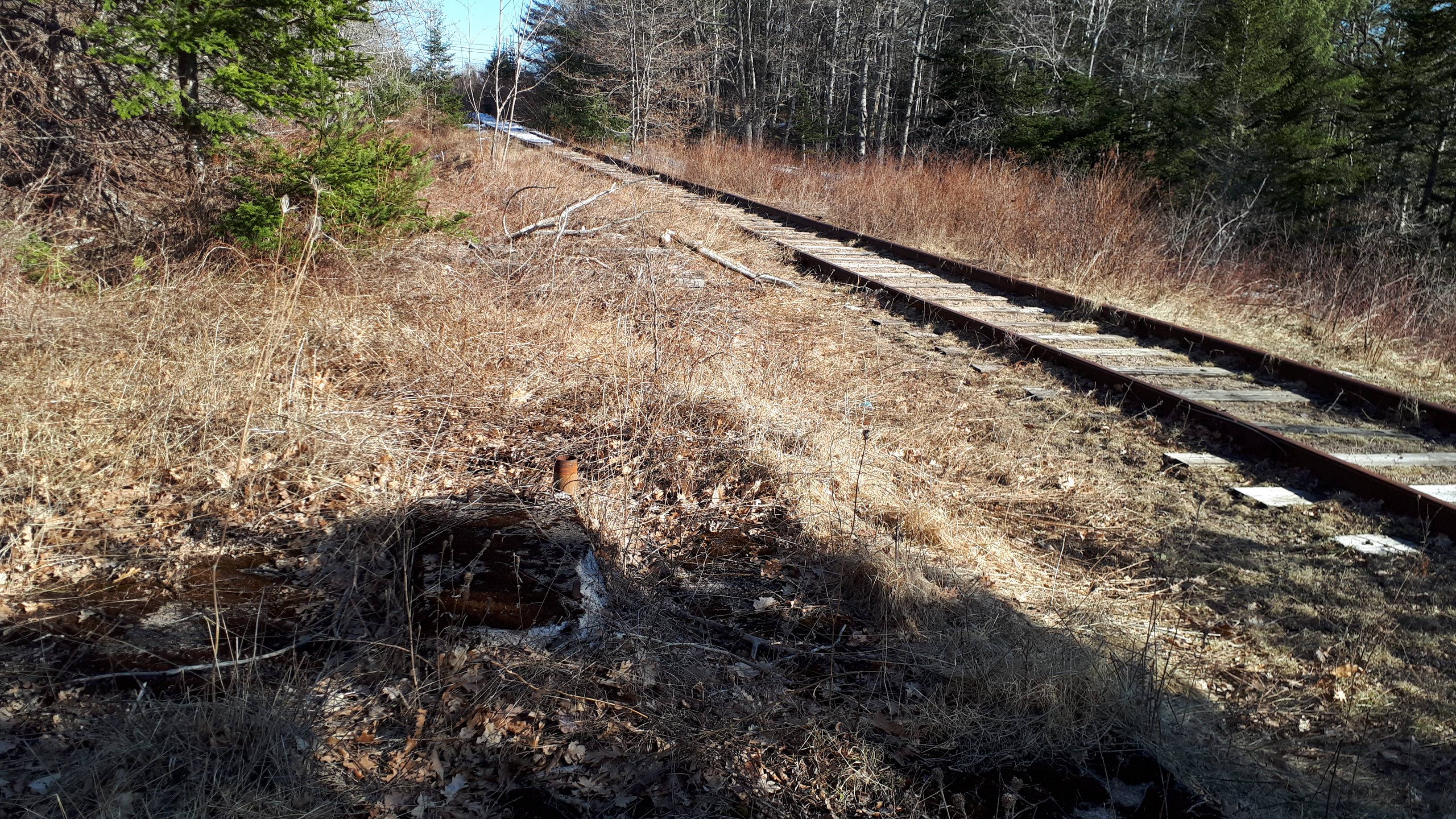
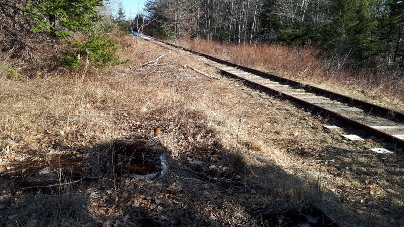
Mount Uniacke Water Tower location, looking east with foundation of water tank in foreground, a few hundred feet west of the level crossing in Mount Uniacke, about Mile 12.9. Octagonal concrete foundation is overgrown with grass and moss, surrounding the pump bed and water supply pipe, March 22, 2020.
File history
Click on a date/time to view the file as it appeared at that time.
| Date/Time | Thumbnail | Dimensions | User | Comment | |
|---|---|---|---|---|---|
| current | 17:08, 21 May 2020 | | 3,264 × 1,836 (4.02 MB) | Dan conlin (talk | contribs) | Mount Uniacke Water Tower location, looking east with foundation of water tank in foreground, a few hundred feet west of the level crossing in Mount Uniacke, about Mile 12.9. Octagonal concrete foundation is overgrown with grass and moss, surro... |
You cannot overwrite this file.
File usage
The following page uses this file: