Dominion Atlantic Railway Digital Preservation Initiative - Wiki
Use of this site is subject to our Terms & Conditions.
File:DAR plan Windsor 1955-01 enhanced.jpg
Original file (4,500 × 1,802 pixels, file size: 6.29 MB, MIME type: image/jpeg)
Summary
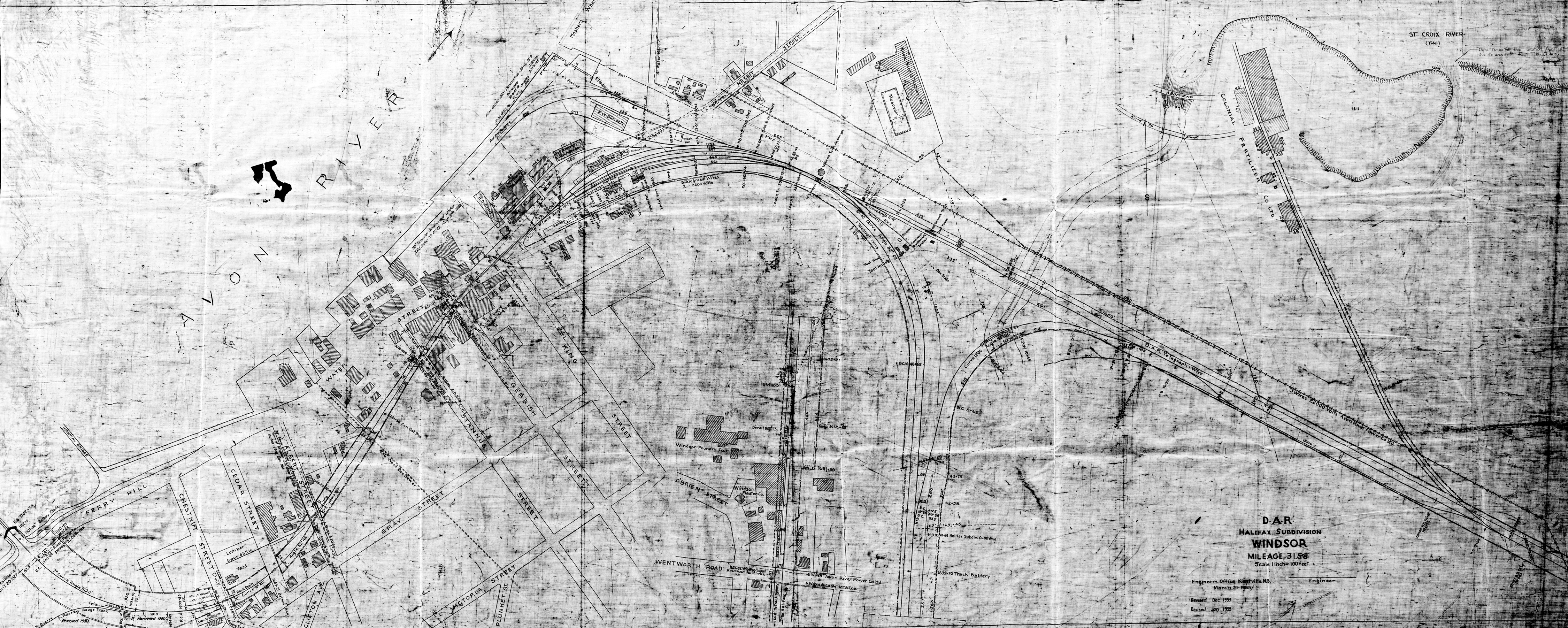
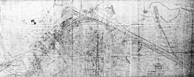
Survey plan of the Halifax Subdivision alignment and right-of-way through Windsor. The plan extends from the Wentworth Road level crossing at mile 30.81 (map inset) to the southeast abutment of the Avon River Bridge at mile 32.24. The plan shows sidings and spurs, crossing signal details and the location of key structures, including the: Station & Baggage Shed (old station), Freight Shed, Rail Yard, Water Tower, Track Scale and the Colonial Fertilizer Plant.
A faint outline of the three stall Windsor Enginehouse as its associated tracks can be seen at centre in the west end of the wye.
Faint outlines can also be seen of older spurs to the Windsor Wharf and Windsor Wear textile plant.
Blueprint scan has been brightened and colour reversed to make it easier to read.
Copyright Nova Scotia Archives Map Collection: F/239 – 1955
Title: DAR Halifax Subdivision Windsor Mileage 31.58
Date: January 1955 revision of the original drawing dated March 21, 1935.
File history
Click on a date/time to view the file as it appeared at that time.
| Date/Time | Thumbnail | Dimensions | User | Comment | |
|---|---|---|---|---|---|
| current | 20:26, 23 March 2024 | 4,500 × 1,802 (6.29 MB) | Dan Conlin (talk | contribs) | Survey plan of the Halifax Subdivision alignment and right-of-way through Windsor. The plan extends from the Wentworth Road level crossing at mile 30.81 (map inset) to the southeast abutment of the Avon River Bridge at mile 32.24. The plan shows sidings and spurs, crossing signal details and the location of key structures, including the: Station & Baggage Shed (old station), Freight Shed, [[Windsor Railya... |
You cannot overwrite this file.
File usage
The following 4 pages use this file: