Dominion Atlantic Railway Digital Preservation Initiative - Wiki
Use of this site is subject to our Terms & Conditions.
File:DARKtoWMap1.8MB.jpg
From DARwiki
Size of this preview: 800 × 513 pixels. Other resolutions: 320 × 205 pixels | 3,006 × 1,927 pixels.
Original file (3,006 × 1,927 pixels, file size: 1.81 MB, MIME type: image/jpeg)
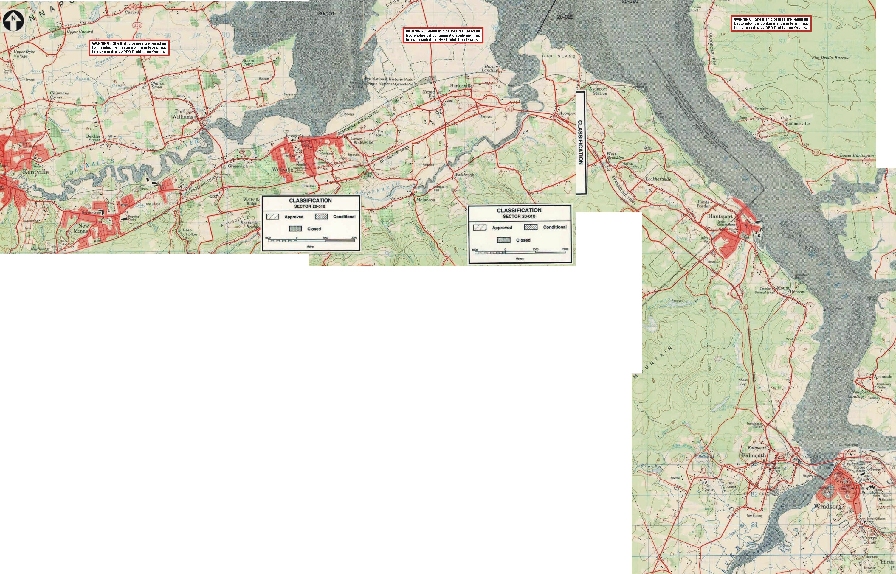
Nova Scotia Department of Fisheries maps stitched together to form one large scale map from Kentville to Windsor (all that were available at the time).
File history
Click on a date/time to view the file as it appeared at that time.
| Date/Time | Thumbnail | Dimensions | User | Comment | |
|---|---|---|---|---|---|
| current | 10:30, 1 May 2008 | | 3,006 × 1,927 (1.81 MB) | Paul Charland (talk | contribs) | Nova Scotia Department of Fisheries maps stitched together to form one large scale map from Kentville to Windsor (all that were available at the time). |
You cannot overwrite this file.
File usage
The following page uses this file: