Dominion Atlantic Railway Digital Preservation Initiative - Wiki
Use of this site is subject to our Terms & Conditions.
File:HalifaxWest1878.jpg
Original file (2,879 × 1,605 pixels, file size: 728 KB, MIME type: image/jpeg)
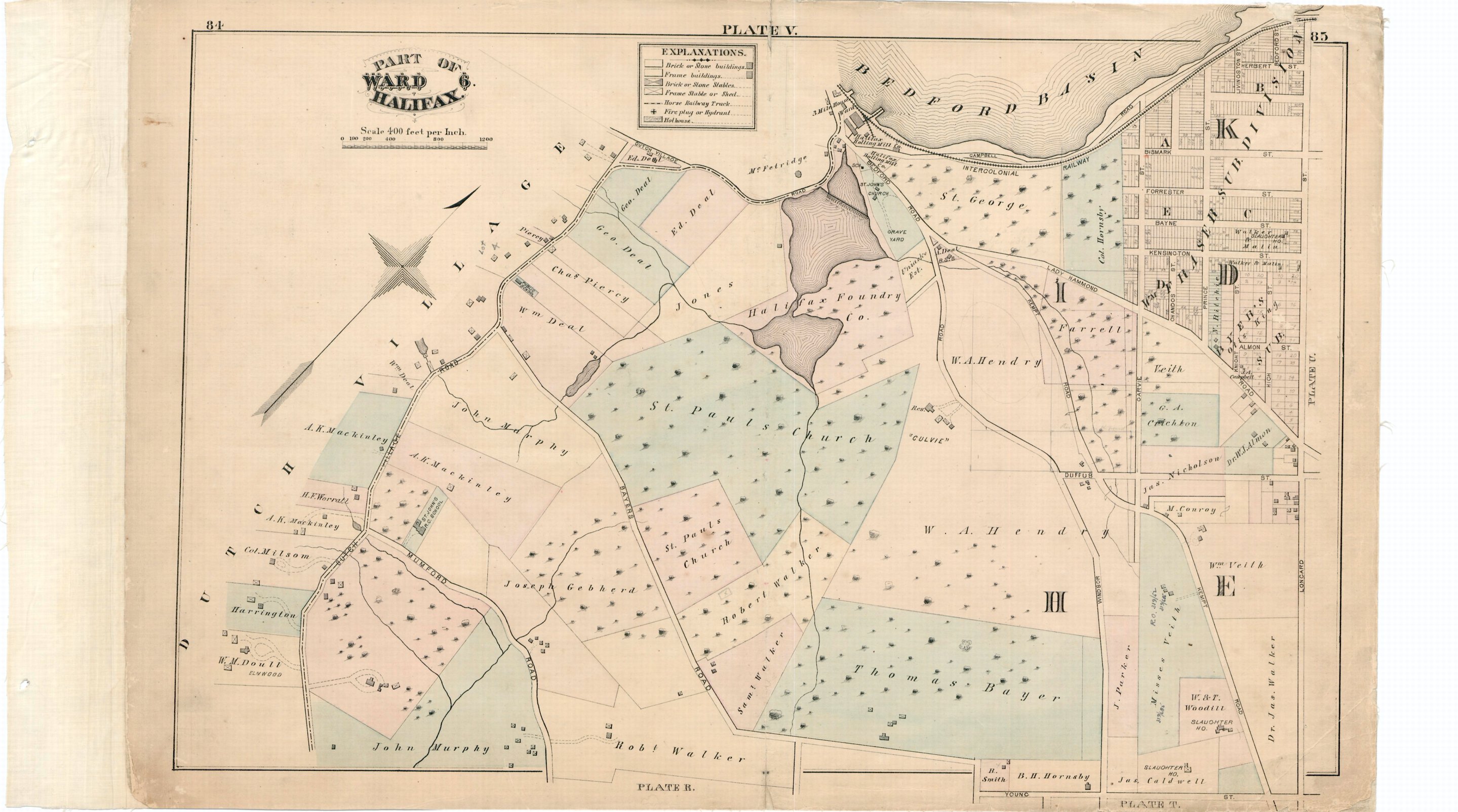
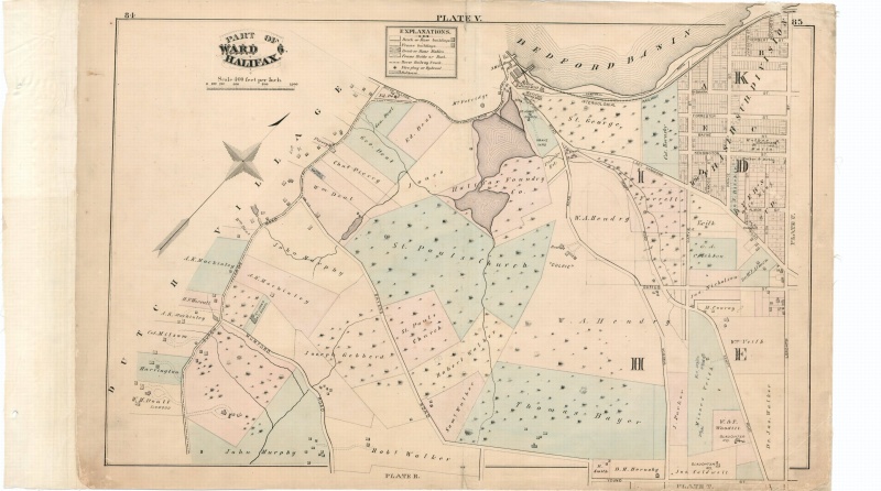
A property map from 1878 showing the track arrangements of the Intercolonial Railway in the north west end of the Halifax Peninsula, adjacent to Fairview Cove (Bedford Basin). The Dominion Atlantic used these tracks to access the Intercolonial Depot until 1920. Actually, the Dominion Atlantic first ran from a station somewhat north of the North Street Depot to Windsor before the the Intercolonial Railway line to Truro was built. This is a plate from the City Atlas of Halifax, Nova Scotia, Provincial Surveying and Pub. Co., 1878; source: Halifax Regional Municipality.
File history
Click on a date/time to view the file as it appeared at that time.
| Date/Time | Thumbnail | Dimensions | User | Comment | |
|---|---|---|---|---|---|
| current | 13:53, 22 December 2011 | | 2,879 × 1,605 (728 KB) | Engineeral (talk | contribs) | Correct file. |
| 13:47, 22 December 2011 |  | 2,879 × 1,629 (810 KB) | Engineeral (talk | contribs) | A property map from 1878 showing the track arrangements of the Intercolonial Railway in the north west end of the Halifax Peninsula, adjacent to Fairview Cove (Bedford Basin). The Dominion Atlantic used these tracks to access the Intercolonial Depot until |
You cannot overwrite this file.
File usage
The following page uses this file: