Dominion Atlantic Railway Digital Preservation Initiative - Wiki
Use of this site is subject to our Terms & Conditions.
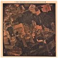
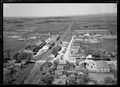
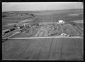
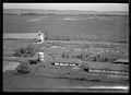
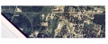
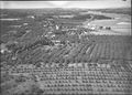
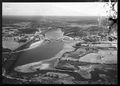
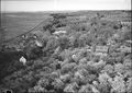
Category:Air Photo
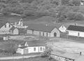
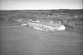
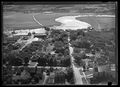
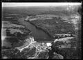
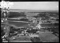
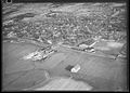
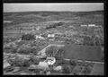
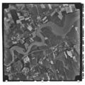
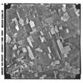
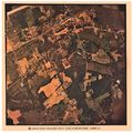
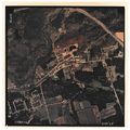
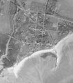
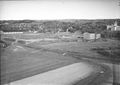
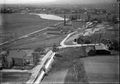
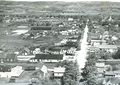
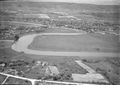
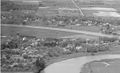
Canada's air photo service started in the 1920s and grew to become a comprehensive service documenting almost all of Canada through precise aerial photography. The National Air Photo Library in Ottawa looks after this massive collections of millions of photos of Canadian locations photographed over different time periods. The route of the Dominion Atlantic shows up in air photos from the early 1930s onward.
Some private air photography was also done in Nova Scotia, most notably by Richard McCully, a photo studio that used a biplane in 1931 to photograph many Nova Scotia and New Brunswick towns, farms and homes.
External Links
Aerial Photography in Canada: A Brief History
Earth Observation Data Management System: The Search Tool for Canadian Air Photos
Media in category "Air Photo"
The following 37 files are in this category, out of 37 total.
 2.jpg 6,016 × 6,016; 4.13 MB
 201216035.jpg 894 × 648; 181 KB
 201216063.jpg 896 × 648; 151 KB
 201216064.jpg 890 × 648; 148 KB
 201216143 detail.jpg 1,289 × 932; 179 KB
 201216143.jpg 843 × 564; 286 KB
 201216162.jpg 894 × 648; 184 KB
 201216191.jpg 1,071 × 773; 253 KB
 201216192.jpg 1,197 × 864; 290 KB
 201216207.jpg 903 × 648; 197 KB
 201216215.jpg 1,212 × 864; 297 KB
 A.19985.189.jpg 6,016 × 6,016; 2.75 MB
 A.19986.144.jpg 6,016 × 6,016; 3.02 MB
 A.77302.45.jpg 6,016 × 6,016; 4.47 MB
 A.77302.46.jpg 6,016 × 6,016; 4.13 MB
 A.77302.52.jpg 6,016 × 6,016; 3.8 MB
 A.77302.95.jpg 6,016 × 6,016; 4.24 MB
 A.77319.42.jpg 6,016 × 6,016; 3.62 MB
 A4368.42 Kingsport detail.jpg 1,395 × 1,574; 762 KB
 Acadia College.jpg 857 × 608; 144 KB
 Annapolis Cider Bridgetown.jpg 858 × 602; 153 KB
 Berwick 1987.JPG 6,190 × 660; 663 KB
 Berwick1931.jpg 1,600 × 1,134; 1.58 MB
 Bridgetown Aerial.jpg 865 × 614; 161 KB
 BridgetownAerialMcCully311detail.JPG 1,091 × 663; 120 KB
 DAR Kentville Railyard 1.jpg 1,988 × 1,032; 569 KB
 Digby 31-5-78.jpg 1,720 × 1,670; 2.73 MB
 Digby ferry wharf.jpg 923 × 740; 190 KB
 Digby Waterfront Aerial Oblique.jpg 926 × 741; 218 KB
 Kalkman057.jpg 1,478 × 2,030; 718 KB
 Kentville 87-06-21.jpg 3,060 × 700; 1.99 MB
 Kingsport Air photo 1945.jpg 1,043 × 792; 187 KB
 Middleton-Aerial.jpg 2,400 × 2,409; 2.67 MB
 Middleton.JPG 5,330 × 2,190; 1.78 MB
 Port Williams Station Aerial Oblique.jpg 853 × 611; 192 KB
 Weymouth Aerial Oblique.jpg 902 × 648; 123 KB
 Wolfville Dykes.jpg 858 × 610; 214 KB


