Dominion Atlantic Railway Digital Preservation Initiative - Wiki
Use of this site is subject to our Terms & Conditions.
File:Quarries.jpg
Original file (1,867 × 901 pixels, file size: 971 KB, MIME type: image/jpeg)
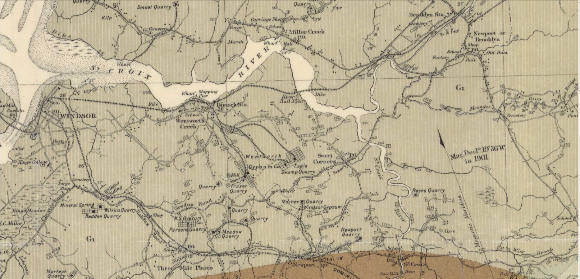
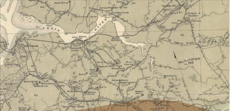
Detail of gypsum quarry spurs in the Windsor area taken from the federal government map "Province of Nova Scotia, Hants County, Windsor Sheet No 73"; Faribault, E R; Fletcher, H. Geological Survey of Canada, Multicoloured Geological Map 1037, 1909, a 1909 geological map of the Windsor area. The Miller Creek Quarry at Mantua had yet to be built but an extensive series of short spurs are show in operation in the Wentworth and Newport area.
Source of original: http://geoscan.nrcan.gc.ca/starweb/geoscan/servlet.starweb?path=geoscan/downloade.web&search1=R=107895
File history
Click on a date/time to view the file as it appeared at that time.
| Date/Time | Thumbnail | Dimensions | User | Comment | |
|---|---|---|---|---|---|
| current | 15:09, 30 April 2017 | | 1,867 × 901 (971 KB) | Dan conlin (talk | contribs) | Detail of gypsum quarry spurs in the Windsor area taken from the federal government map "Province of Nova Scotia, Hants County, Windsor Sheet No 73"; Faribault, E R; Fletcher, H. Geological Survey of Canada, Multicoloured Geological Map 1037, 1909, a |
You cannot overwrite this file.
File usage
The following 7 pages use this file: