Dominion Atlantic Railway Digital Preservation Initiative - Wiki
Use of this site is subject to our Terms & Conditions.
Difference between revisions of "File:New Minas 4.JPG"
From DARwiki
Tedsgrandson (talk | contribs) (The start of the completed portion of the walking trail in New Minas, facing west, May 9, 2016. This was taken about a kilometer west of the Frito Lay plant, directly behind the Lockhart and Ryan Sports Facility. A portion of the rail is visible, covered ) |
Tedsgrandson (talk | contribs) |
||
| Line 1: | Line 1: | ||
| − | The start of the completed portion of the walking trail in New Minas, facing west, May 9, 2016. This was taken about a kilometer west of the | + | The start of the completed portion of the walking trail in New Minas, facing west, May 9, 2016. This was taken about a kilometer west of the ACA Co-op, directly behind the Lockhart and Ryan Sports Facility. A portion of the rail is visible, covered with white tape. |
[[Category:Jim Joyce Photo]] | [[Category:Jim Joyce Photo]] | ||
Latest revision as of 18:11, 11 May 2016
The start of the completed portion of the walking trail in New Minas, facing west, May 9, 2016. This was taken about a kilometer west of the ACA Co-op, directly behind the Lockhart and Ryan Sports Facility. A portion of the rail is visible, covered with white tape.
File history
Click on a date/time to view the file as it appeared at that time.
| Date/Time | Thumbnail | Dimensions | User | Comment | |
|---|---|---|---|---|---|
| current | 17:35, 11 May 2016 | 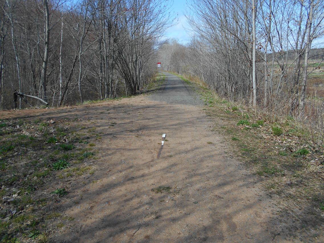 | 1,137 × 853 (342 KB) | Tedsgrandson (talk | contribs) | The start of the completed portion of the walking trail in New Minas, facing west, May 9, 2016. This was taken about a kilometer west of the Frito Lay plant, directly behind the Lockhart and Ryan Sports Facility. A portion of the rail is visible, covered |
You cannot overwrite this file.
File usage
There are no pages that use this file.