Dominion Atlantic Railway Digital Preservation Initiative - Wiki
Use of this site is subject to our Terms & Conditions.
Difference between revisions of "File:New Minas 3.JPG"
From DARwiki
Tedsgrandson (talk | contribs) (The current end of track in New Minas, about a half kilometer east of the Frito Lay Plant, May 9, 2016. It looks as if this portion of the walking trail will be running beside the track, rather than above it. Category:Jim Joyce Photo) |
Tedsgrandson (talk | contribs) |
||
| Line 1: | Line 1: | ||
| − | The current end of track in New Minas, about a half kilometer east of the | + | The current end of track in New Minas, about a half kilometer east of the ACA Co-op, May 9, 2016. It looks as if this portion of the walking trail will be running beside the track, rather than above it. |
[[Category:Jim Joyce Photo]] | [[Category:Jim Joyce Photo]] | ||
Latest revision as of 18:10, 11 May 2016
The current end of track in New Minas, about a half kilometer east of the ACA Co-op, May 9, 2016. It looks as if this portion of the walking trail will be running beside the track, rather than above it.
File history
Click on a date/time to view the file as it appeared at that time.
| Date/Time | Thumbnail | Dimensions | User | Comment | |
|---|---|---|---|---|---|
| current | 17:38, 11 May 2016 | 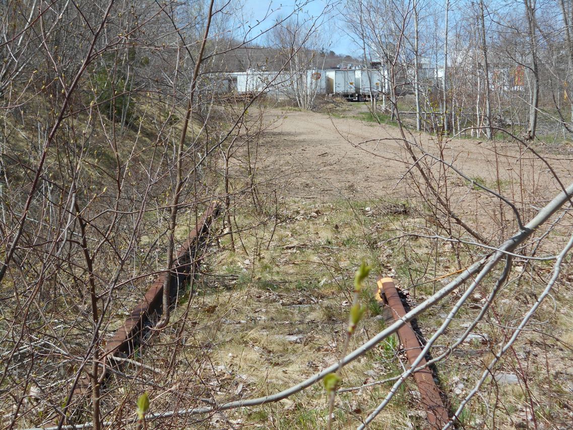 | 1,137 × 853 (396 KB) | Tedsgrandson (talk | contribs) | The current end of track in New Minas, about a half kilometer east of the Frito Lay Plant, May 9, 2016. It looks as if this portion of the walking trail will be running beside the track, rather than above it. Category:Jim Joyce Photo |
You cannot overwrite this file.
File usage
There are no pages that use this file.