Dominion Atlantic Railway Digital Preservation Initiative - Wiki
Use of this site is subject to our Terms & Conditions.
Difference between revisions of "Kentville Railyard"
Dan conlin (talk | contribs) (external link) |
|||
| Line 25: | Line 25: | ||
==External Links== | ==External Links== | ||
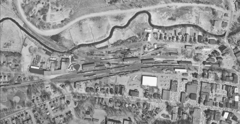
| + | *[http://www.gov.ns.ca/nsarm/virtual/nsis/exhibit.asp?ID=1546&Language= Nova Scotia Archives, Good zoomable air view of Kentville station, car shops, rail yard, and back road siding, circa 1950.] | ||
*[http://maps.google.ca/maps/ms?hl=en&gl=ca&ie=UTF8&oe=UTF8&msa=0&msid=103391553118740314259.0004423c51b56ac253999&ll=45.079066,-64.49981&spn=0.003735,0.010772&t=h&z=17&iwloc=00044248724c286855f01 Kentville Railyard currently on Google Maps] | *[http://maps.google.ca/maps/ms?hl=en&gl=ca&ie=UTF8&oe=UTF8&msa=0&msid=103391553118740314259.0004423c51b56ac253999&ll=45.079066,-64.49981&spn=0.003735,0.010772&t=h&z=17&iwloc=00044248724c286855f01 Kentville Railyard currently on Google Maps] | ||
[[Category:Kentville Facilities]] | [[Category:Kentville Facilities]] | ||
[[Category:Railyards]] | [[Category:Railyards]] | ||
Revision as of 20:27, 5 February 2009
Kentville Railyard
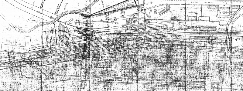
Railyard in sections
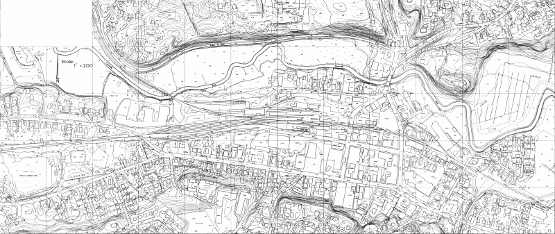
The above drawing is difficult to read but is proportionately correct and was scanned at 200 DPI. These images although not proportionally correct because they appeared photographed, not scanned, are the same map as above in sections and very readable with additional notes to explain some of the original notations on the map. If anyone can identify what the two buildings immediatley east of the roundhouse say, please add your comments to the wiki.
These images are just begging to be put on CAD. If anyone can help this way or advise what the proper way to set up a CAD file for land mapping is so others can do the tracing, please let us know. See this message thread on our forum: http://dardpi.ca/Forum/viewtopic.php?f=3&t=18#p49
